Observation point
Knardijk
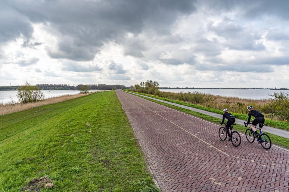
Knardijk is an inner dyke which acts as a land division line between East and South Flevoland. Originally constructed as the southern outer dyke of the still-to-be drained East Flevoland polder, it formed the first phase (1957) of the larger Flevoland polder reclamation project. South Flevoland however was constructed considerably later (1968), which left Knardijk as a fully-fledged first defence outer dyke for the duration. At the time, it was the border between the new land and the outer water mass in the IJsselmeer’s southern zone. The Knardijk dyke derived its name from the former shallows in the Zuiderzee known as the Knar.